
Sources for St. Charles Neighbors
Public sources reveal parcels and official record links, not a complete list of every person on a block. KaneGIS4 shows spatial relationships. DevNet supplies the assessed owner, mailing address, site address, tax district, and legal description. The voter search checks a known surname against a house number or street. City permits and historic surveys describe the built setting.
| Source | What It Shows About a Block | Access |
|---|---|---|
| KaneGIS4 | Parcel shapes, nearby lots, roads, boundaries, district context | Public map; not a survey |
| Kane DevNet | Owner, mailing and situs address, PIN, class, legal description | Public property search |
| Kane voter lookup | Known voter name, address, status, polling place and districts | Name plus house number or street |
| City permit table | Address, permit type, issue date, description and valuation | Public ArcGIS table; older files by FOIA |
| Historic surveys | District boundaries, property lists and architectural context | City preservation material |
| Local groups | Public civic contacts and community activity | Organization websites or direct contact |
An assessed owner can be a trust, estate, company, or person who gets tax mail elsewhere. None of those facts proves that every named owner occupies the property.
Map a St. Charles Block
Open KaneGIS4 and search the target address. Click its parcel to read the popup and copy the PIN. Then pan along both sides of the block and inspect each adjoining polygon. A polygon is the mapped parcel shape, not a legal finding that two owners share a boundary.
- Search the address and center the target parcel.
- Click the target, then copy its PIN and visible district clues.
- Click each lot that touches or faces the target.
- Move every PIN into DevNet and record the assessed owner and situs address.
- Compare the parcel set with city limits and taxing bodies.
The flow is address → parcel → PIN → assessment card → nearby owner list. Use GIS for location and relationships. A recorded plat or professional survey controls legal geometry.
Confirm Nearby St. Charles Parcels
The Kane DevNet search accepts parcel number, owner name, house number, street name and type, city, township, tax district, subdivision, class, sale range, and tax-year range. Results show year, property account number, owner, address, and type. They can be exported to CSV.
Read the card carefully. The site or situs address describes the land. The mailing address is where the tax notice goes. Compare those fields rather than treating a match as an occupant list. Exemptions may hint at a qualifying owner connection, but they are not a live register of the household.
- Parcel
- A mapped and assessed unit of land.
- PIN
- The county parcel identification number used across property tools.
- Situs address
- The physical location assigned to the parcel.
- Taxing body
- A government or district that levies tax on the parcel.
Resolve St. Charles City Limits
St. Charles crosses Kane and DuPage counties, and the postal city can extend beyond municipal limits. The city's address guidance says an in-city assessment should list “ST CHARLES CITY” or “CITY OF ST CHARLES” as a taxing entity.
This check matters when a nearby parcel changes county, township, or service area. Some unincorporated land can still receive city water or sewer. Record the postal label, county, municipality, township, school district, and other taxing bodies as separate facts. They may divide one apparent neighborhood into several official jurisdictions.
Boundary tip. A St. Charles mailing address does not by itself prove that a parcel lies inside the city.
Read St. Charles District Layers
District context often says more about a block than the postal city. DevNet's tax-district list includes St. Charles Township, the road district, cemetery, city, School District 303, park district, and library, along with special service and tax-increment areas. KaneGIS4 can provide map context for district lines, though the exact live layer names were not exposed in the research capture.
Turn layers on one at a time and note where a line cuts across nearby parcels. Confirm consequential boundaries with the agency that maintains them. County GIS warns that its geometry can differ from assessed area, and a survey controls. The map is a navigation tool, not proof of title or legal adjacency.
Check Known St. Charles Voters
The Kane voter lookup is name-gated. Enter a last name with either a house number or street name. A result can show the voter name, address, registration status, polling locations, and current districts. It does not expose a browseable list of every voter on a block.
Try a known surname first with the house number, then with street-name-only mode. Spacing and capitalization quirks may affect a search. No result can reflect a spelling issue, an inactive record, or an address protected by law. The public screen does not show a telephone number, email, full birth date, Social Security number, voter ID, or ballot choice.
Full voter-file access is a separate statutory channel under 10 ILCS 5/1A-16. Its permitted-use rules bar intimidation, threats, deception, advertising, solicitation, and marketing. A casual public search must not be treated as a downloadable neighbors directory.
Permits Around St. Charles Blocks
The city permit FeatureServer table connects a location with an application type, work description, permit number, issue date, valuation, and contact-description field. It can reveal when several homes on a block had additions, roof work, or other permitted changes. The table had 132,419 rows at inspection but no geometry, so it must be read beside the map.
A high row count does not establish complete historical coverage. The city does not state the layer's first year. If a needed record is missing, submit a focused Illinois FOIA request to Community Development with the addresses and date span. Avoid copying personal phone or contact values from live rows.
Historic St. Charles Neighborhood Shapes
Historic surveys explain why nearby lots and streets do not always share the same pattern. The Central Historic District contains the original town laid out in the 1830s. Moody-Millington reflects additions dating to 1842 and 1846. The Millington Addition was annexed in 1842, while the Pottawatomie survey covered 2022–23 and says that area is not a historic district.
These are place histories, not current resident rosters. They can connect an old cross-street description or legal subdivision to a modern block. The 1857 directory used “between,” “corner,” home, and boarding abbreviations instead of consistent house numbers, so historic entries need to be mapped before comparing names.
This is St. Charles geography at human scale: growth occurred through distinct additions, and the official surveys preserve those seams. A current parcel map becomes easier to read when those older neighborhood forms are understood.
St. Charles Community Contacts
The city does not publish a general neighborhood-association roster. Its local organizations page instead points to public civic and cultural groups.
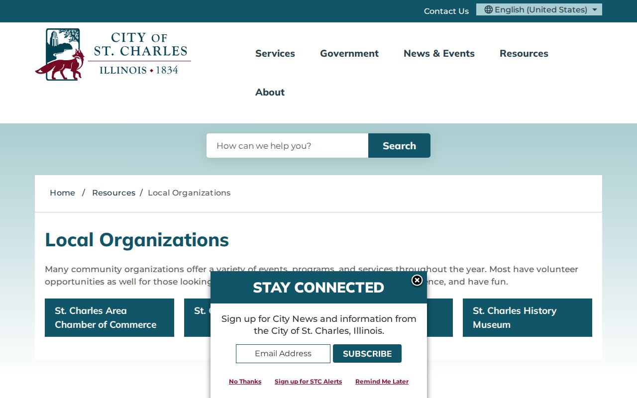
The captured page confirms the public contact layer, not private member lists. Ask an organization directly about open meetings, public newsletters, or event calendars.
| Organization | Useful Public Context |
|---|---|
| St. Charles Area Chamber | Business and civic connections |
| St. Charles Arts Council | Arts programs and public events |
| Downtown St. Charles Partnership | Downtown business and event activity |
| St. Charles History Museum | Neighborhood history and research contacts |
| Kane County Genealogical Society | County names, projects, and research referrals |
The genealogical society can help with former residents and historic family links.
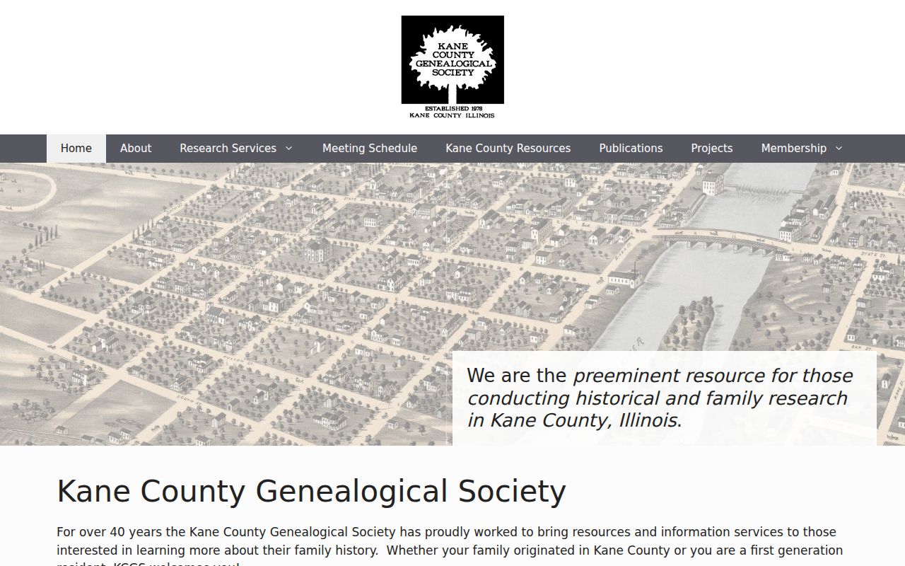
That source is strongest for the earlier community, while current contact should come from a group's own public channel.
The Kane County Treasurer's unclaimed-funds page offers another narrow, official name-and-case-number clue.
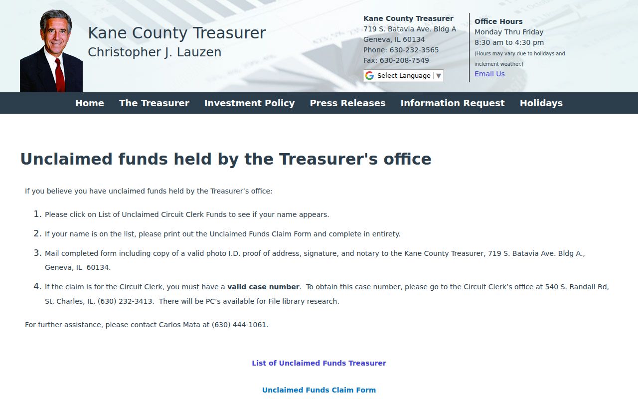
An unclaimed-funds match shows a possible county record connection, not current residence or membership in a St. Charles household, so verify it with the Treasurer.
Official Rolls and Neighbor Tools
Official records and commercial neighbor tools serve different roles. Official sources identify their custodian, date, and legal purpose. Commercial compilations may merge old addresses, recycled phone data, and names from unrelated sources. They should not replace a parcel card, voter result, permit, or recorded document.
| Question | Official Source | Commercial Compilation |
|---|---|---|
| Who owns the parcel? | Named owner and tax year from DevNet | May be stale or lack source date |
| Which lots are nearby? | KaneGIS4 map with county context | Boundary basis may be unclear |
| Is one known voter registered there? | Name-gated Kane lookup | May blend old and current addresses |
| What changed at the address? | Dated city permit record | Often lacks the underlying file |
Use the official source for the fact it was built to maintain. If the goal expands from the immediate radius to a whole named road, follow the St. Charles street directory workflow.
What St. Charles Neighbors Keep Private
Property records do not list all occupants. Utility accounts, delivery files, motor-vehicle data, and private association membership are not general public directories. Court records may be sealed, expunged, juvenile, confidential, or impounded. A missing record is not permission to infer a name.
Illinois also has an Address Confidentiality Program for eligible survivors. It supplies a substitute address for new public records, including a special voting process. Earlier records and property records are not automatically erased. The Attorney General reported nearly 600 active participants in 381 households across 44 counties at the end of 2025, which shows that protected addressing is a current public-safety need.
Lawful use. Look up St. Charles neighbors for civic knowledge, reconnection, or personal safety, never to watch, intimidate, harass, or harm anyone.
Write down the source date and the limits of each result. Ownership is not occupancy, a voter result is not a household, and a parcel line is not a social boundary. Those distinctions keep a block lookup accurate and fair.