
St. Charles ZIP Coverage
Official local evidence supports two delivery codes for St. Charles. Downtown records show 60174, while city address guidance specifically uses 60175 as an example that requires a jurisdiction check. Research did not verify an additional PO-box-only or unique code, a clean neighborhood split, or exact station assignments. The safe ZIP code directory therefore reports only what the official sources support.
| ZIP | Areas supported by records | Post office | Records note |
|---|---|---|---|
| 60174 | St. Charles mailing area, including downtown and core public-office examples | St. Charles postal facility; exact station details require live USPS verification | Postal and city boundaries differ; check the parcel and taxing bodies |
| 60175 | St. Charles mailing area identified in city guidance and local address examples | St. Charles delivery code; exact route assignment was not verified | May include land outside city limits; check county and township |
Neither row should be read as a fixed neighborhood boundary. School, township, park, library, cemetery, special-service, and tax districts may cross a postal route.
Verify St. Charles ZIP Codes
The USPS ZIP Code Lookup is the authority for a current delivery code. Search by full street address when one is known. A city-and-state query can confirm codes associated with St. Charles, but the address result is the stronger route for one parcel.
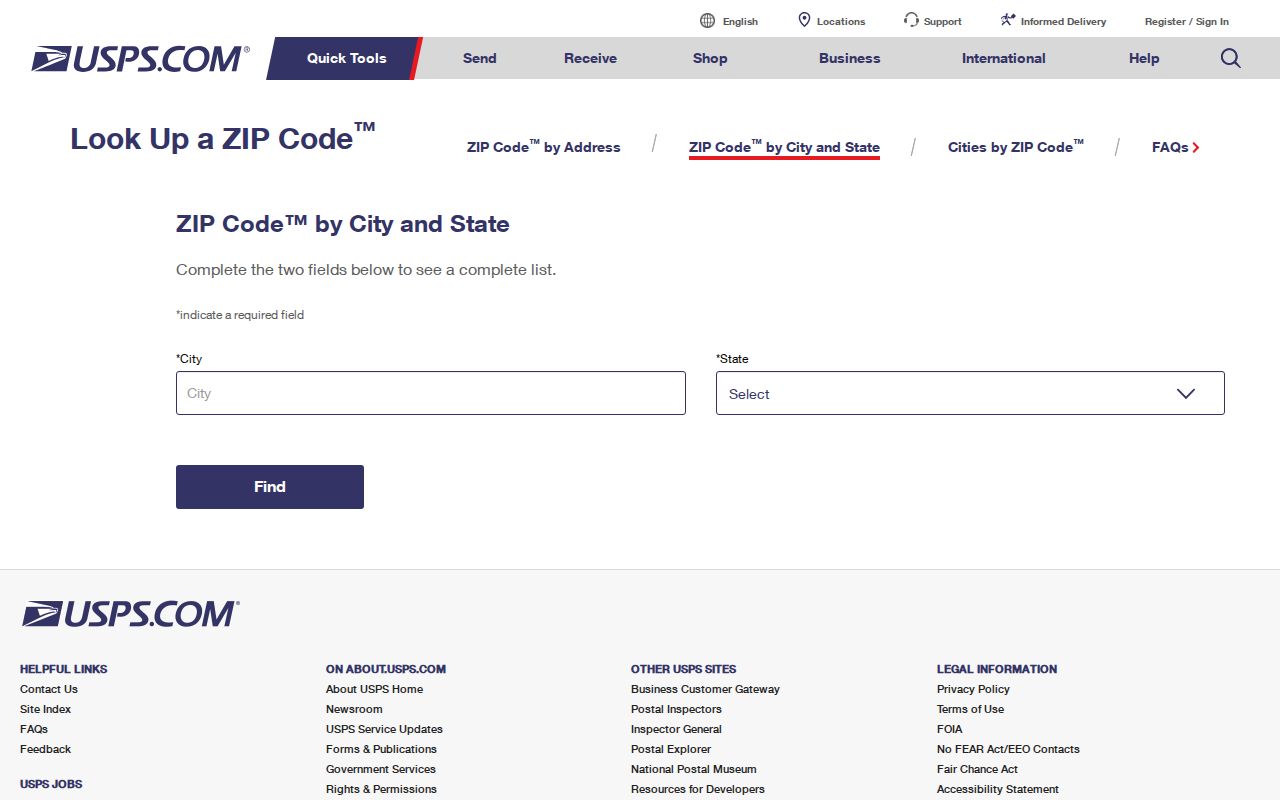
The USPS screen confirms postal routing. It does not decide which county, township, or municipal government holds the parcel record.
- ZIP code
- A USPS delivery geography that can cross government boundaries.
- ZIP+4
- A more precise delivery segment within a five-digit code.
- PO-box ZIP
- A code reserved for post-office boxes when USPS assigns one.
- Unique ZIP
- A code assigned to one high-volume recipient.
- Carrier route
- A postal delivery path, not a city or parcel boundary.
St. Charles ZIP Versus City
A postal place name is not a legal boundary. The city's address guidance tells readers to open the Kane or DuPage assessment record and look among the taxing bodies for “ST CHARLES CITY” or “CITY OF ST CHARLES.” That detail is stronger evidence of incorporation than the words St. Charles in a mailing address.
Incorporated parcels receive city services. Unincorporated land uses county or township services, though some unincorporated addresses can have city water or sewer. This is the central geography rule for the St. Charles ZIP code directory: postal code first for delivery, parcel record next for jurisdiction.
Boundary check. A 60175 or 60174 address can still require Kane, DuPage, township, and municipal-taxing-body checks before a record search begins.
Two Counties Behind St. Charles
St. Charles crosses Kane and DuPage counties. Kane's DevNet, recorder, voter lookup, and GIS tools do not become the right sources merely because the postal city says St. Charles. Confirm the county from the assessor or map. If the parcel lies in DuPage, use the DuPage assessment and record offices identified through the city's address guidance.
The county choice affects more than property records. Deeds, voter registration, court files, and local certified vital records follow their own custodians. A postal ZIP code is a useful filter, but it cannot transfer a DuPage record into a Kane index.
Note: Start with the full address and parcel jurisdiction whenever a name search returns no plausible St. Charles match.
Find St. Charles Residents by ZIP
No inspected Kane portal offered a simple ZIP-wide resident roster. DevNet has a City field plus street, township, tax-district, subdivision, and property-class filters, but no dedicated ZIP field was visible. The voter lookup requires a last name plus house number or street. Recorder LRS accepts property address, PIN, subdivision, date, and party terms, not a verified ZIP filter.
- Confirm the full delivery address and ZIP with USPS.
- Identify Kane or DuPage through the assessment record or official map.
- Check the parcel's city taxing body, site address, mailing address, and PIN.
- Use the name and street in the voter or property search that fits the question.
- Carry the PIN or legal description into deed records when ownership history matters.
- Use an agency request for a lawful geographic extract that the public screen cannot make.
Once a ZIP narrows the area, the St. Charles street directory gives the more exact by-address workflow.
Filter St. Charles Parcel Records
The Kane County Assessment Office links to DevNet. Quick Parcel Search accepts a parcel number, owner name, house number, street name, street type, and city. Advanced fields include sale dates and prices, township, tax district, property class, subdivision, and tax-year ranges. Those fields build local context even though a ZIP box is absent.
| DevNet field | How it helps a ZIP search |
|---|---|
| House Number | Narrows a verified postal address |
| Street Name and Type | Separates streets within the delivery area |
| City | Uses the recorded locality text, not a boundary guarantee |
| Township | Helps resolve county geography |
| Tax District | Shows city and service relationships |
| Subdivision | Connects parcels sharing a legal development name |
The Kane Assessment Office portal is the official gateway.
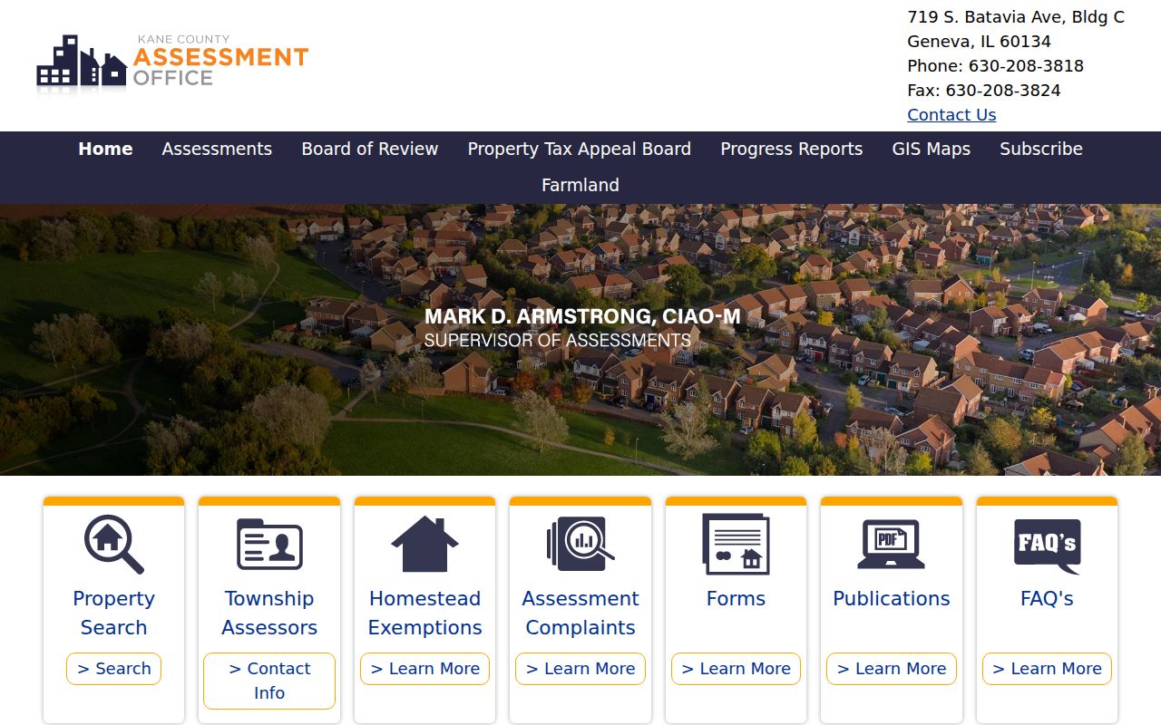
The parcel result, not the ZIP alone, separates the site address from the owner's mailing address and identifies the legal parcel.
Four St. Charles Address Keys
Several address forms can be correct at once. Situs means where the parcel sits. Mailing means where tax or official mail goes. A legal description identifies title land by lot, block, subdivision, survey, or other boundary language. The postal code routes mail. DevNet shows site and mailing fields separately, while deeds depend on PINs and legal descriptions.
A sampled commercial parcel in 60174 demonstrates the difference without publishing a household: its site address, company owner, separate mail destination, PIN, tax code, and original-town lot-and-block description appear on one assessment card. None of those fields alone proves who occupies the site today.
The St. Charles ZIP code directory uses the postal field to start, not finish, a search. Preserve every label exactly so that a mailing address is never presented as a residence.
St. Charles Voter Search Limits
Kane County's public voter form has no ZIP field. It uses last name with either a house number or street name. The result can show name, address, registration status, polling places, and districts. It does not expose a downloadable anonymous list of everyone in 60174 or 60175.
The Kane County voter-search information leads to the active lookup and elections office.
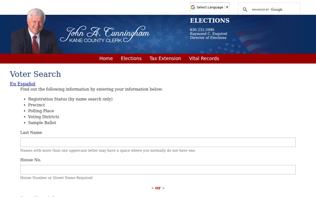
Use a result as a dated registration clue. Protected, inactive, changed, or unmatched records can produce no ordinary result.
Historic St. Charles Lacks ZIPs
Modern ZIP codes should not be projected backward onto old resident records. The 1857 directory describes locations with phrases such as “Main east of Twelfth,” “between 7th and 8th,” and “corner.” St. Charles's original town, Moody-Millington additions, and Millington annexation add another layer of historic geography.
Map an old entry against its period street grid, city directory, survey, deed, and newspaper. A modern 60174 label can help orient a current search, but it cannot rewrite an address created before ZIP codes or current house numbering. Library maps and the Illinois Digital Archive are stronger tools for that work.
St. Charles ZIP Context Online
City permit records may hold a ZIP inside the free-text Location field, but the inspected permit table has no separate ZIP column and no parcel geometry. It includes application type, location, description, permit number, issue date, valuation, and contact description. Use it to date a site event, not to build a resident roster.
The city licensing page points to the current SmartGov portal for applications, renewals, and special-event or miscellaneous licenses.
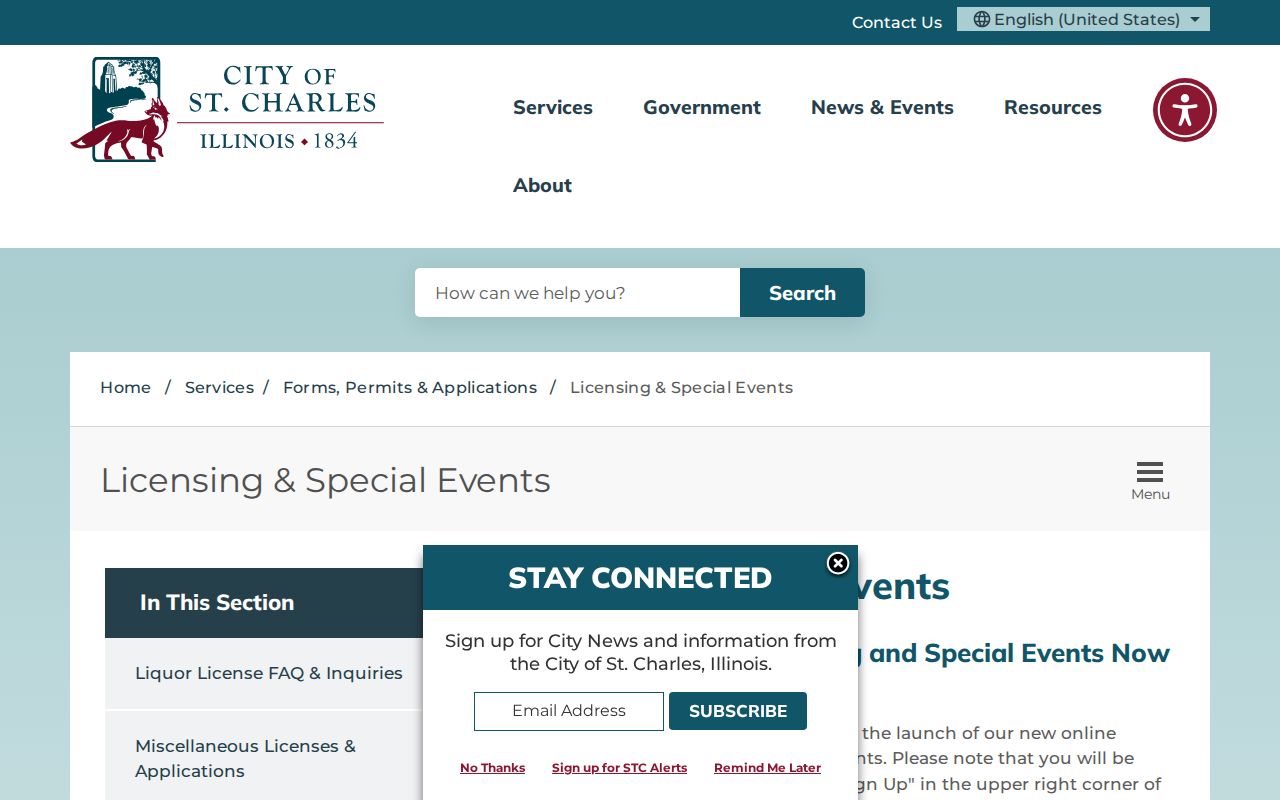
A license or permit can connect an activity to a place, but it does not prove a person's home ZIP code.
Use St. Charles ZIP Data Carefully
Neither official research nor the captured USPS screen supported an extra St. Charles PO-box-only ZIP, unique ZIP, ZIP split year, or exact station boundary. Those details should remain unstated until USPS or another official source confirms them. Commercial maps are not a sound substitute for a current postal result.
A ZIP code directory is useful for narrowing records, checking delivery labels, and finding the right county. It does not prove occupancy, ownership, city incorporation, or record custody. Verify each final fact in the source built to maintain it.
Lawful use. Use address and ZIP records for lawful personal research, and never use them to stalk, harass, threaten, or expose a protected person.